
North Brunswick Township is located in Middlesex County in central New Jersey and developed through a combination of early agriculture, strategic transportation access, and late-twentieth-century suburban expansion.
Its identity reflects proximity rather than prominence.
Growth occurred not because North Brunswick was a destination, but because it sat between larger population and economic centers.
The township transitioned gradually from rural farmland to a residential and commercial municipality shaped by highways, regional employment patterns, and land-use planning.
That progression explains its modern layout, density, and function within central New Jersey.
Understanding North Brunswick requires following land control, transportation infrastructure, and postwar development decisions rather than singular historical events.
Table of Contents
Indigenous Land Use and Pre-Colonial Geography
Before European settlement, the land that became North Brunswick formed part of Lenape territory.
The township’s location near the Raritan River basin placed it within a network of seasonal movement rather than permanent settlement.
Forests, wetlands, and arable land supported hunting, fishing, and limited agriculture.
Lenape Presence
Lenape communities used the region for resource access rather than dense habitation.
Land use supported:
- Seasonal hunting and fishing
- Small-scale cultivation
- Movement between regional settlements
European colonization in the seventeenth century displaced Indigenous populations through land acquisition, treaties, and force, transferring land control to colonial authorities and private landholders.
Colonial Settlement and Agricultural Foundations
European settlement expanded into the area during the late seventeenth and early eighteenth centuries.
North Brunswick developed as part of a broader agricultural region supplying nearby towns, ports, and later urban markets.
Farms dominated land use, and population density remained low for more than a century.
Farming Patterns
Agricultural activity included:
- Crop cultivation
- Livestock raising
- Milling and local trade
Settlements formed as dispersed farmsteads rather than villages.
Roads existed primarily to connect farms to markets, not to support commercial centers.
Formation of North Brunswick Township
North Brunswick Township was formally established in 1798.
Its creation followed New Jersey’s statewide incorporation of municipalities to formalize governance structures.
The township took its name from its geographic relationship to New Brunswick rather than a historical figure.
Early Governance
Municipal responsibilities focused on:
- Road maintenance
- Property taxation
- Basic public order
The township encompassed a largely rural area and remained agricultural through the early nineteenth century.
Transportation and Regional Positioning
Transportation access shaped North Brunswick’s long-term development more than early industry.
Road networks connected the township to surrounding communities and markets.
Later transportation improvements increased connectivity without triggering immediate industrialization.
Roads and Later Highways
Transportation influences included:
- Early regional roadways
- Proximity to New Brunswick
- Later highway construction in the twentieth century
Unlike industrial centers with rail or port dominance, North Brunswick remained transitional rather than transformative during this period.
Nineteenth-Century Community Life
Throughout the nineteenth century, North Brunswick functioned as a rural township.
Community life centered on agriculture, churches, and small schools.
There was no central town center. Population growth remained modest.
Social and Civic Structure
Local institutions included:
- Churches serving dispersed populations
- One-room schoolhouses
- Agricultural organizations
Governance remained limited in scope, reflecting low population density and minimal commercial activity.
Twentieth-Century Transition
The twentieth century introduced gradual but significant change.
Mechanization reduced labor demand on farms. Improved transportation increased mobility.
Proximity to growing regional employment centers began influencing residential patterns.
Between the World Wars, North Brunswick remained largely rural, but pressures for change increased.
Postwar Suburban Expansion
After World War II, North Brunswick experienced sustained suburban growth.
Several factors contributed to expansion:
- Widespread automobile ownership
- Highway access, including Route 1
- Housing demand tied to regional employment
- Decline of small-scale farming
Farmland converted into residential developments and commercial strips.
Growth favored outward expansion rather than centralized density.
Zoning and Land Use
Planning decisions emphasized:
- Single-family housing
- Automobile-oriented commercial development
- Separation of residential and industrial uses
These choices shaped the township’s modern form.
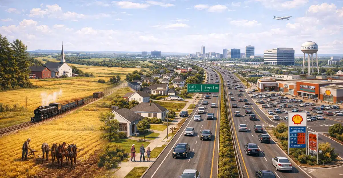
Commercial Development Along Route 1
Route 1 became a defining feature of North Brunswick.
Retail, office space, and service-oriented development concentrated along the corridor, creating a linear commercial zone rather than a traditional downtown.
Economic Focus
Commercial activity included:
- Shopping centers
- Corporate offices
- Service businesses
This corridor-based development reinforced North Brunswick’s role as a residential and commercial support municipality rather than an independent economic hub.
Education and Municipal Growth
Population growth expanded municipal responsibilities.
As housing increased, the township invested in schools, public works, recreation facilities, and emergency services.
Government professionalized in response to scale.
Education infrastructure became a central component of civic planning as family-oriented neighborhoods expanded.
North Brunswick Today
Modern North Brunswick reflects suburban planning shaped by transportation access and regional proximity.
Residential neighborhoods, commercial corridors, and office parks coexist within township boundaries.
Industrial activity remains limited.
Key characteristics include:
- Suburban residential development
- Highway-oriented commercial zones
- Absence of a traditional downtown
- Strong integration with regional employment centers
The township functions as part of a larger metropolitan system rather than as a standalone center.
Why the History Still Matters
North Brunswick’s development explains its layout, zoning patterns, and economic role.
Land transitioned from agriculture to housing through infrastructure rather than industry.
Commercial activity concentrated along highways rather than civic cores.
Growth followed accessibility rather than historical clustering.
Those decisions continue to define the township’s structure.
North Brunswick Township Q&A
When was North Brunswick Township established?
The township was established in 1798.
Why did North Brunswick remain rural for so long?
It lacked early industrial drivers and major transportation hubs.
When did suburban growth occur?
Significant suburban expansion began after World War II.
Why doesn’t North Brunswick have a traditional downtown?
Development concentrated along highway corridors rather than central streets.
What defines North Brunswick today?
It is a suburban township shaped by transportation access, housing growth, and commercial development along Route 1.